Last seismic survey jobs for CGG Alize and PGS Ramform Viking
The largest maritime operation in Farsund is now underway. CGG’s Alize is seen here with the PGS Ramform Viking in Farsund, Norway on 15 January 2021 being transported to Turkey …
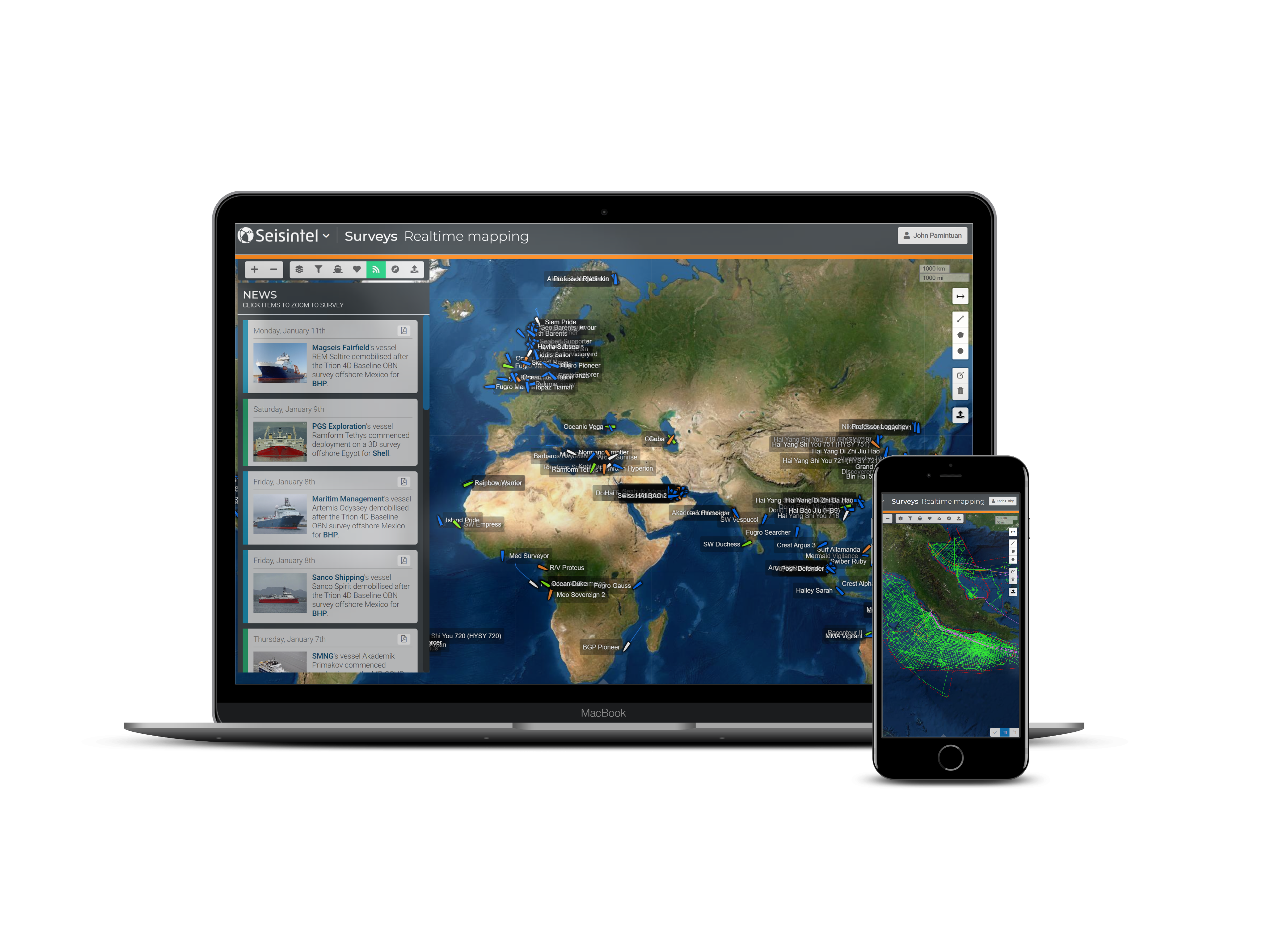
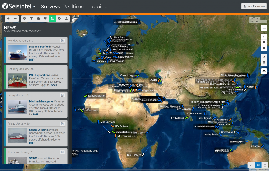
Seisintel is a web portal product which provides live and historic survey information and vessel usage information,
for the marine survey industry.

Seisintel provides the global oil and gas industry with leading geospatial products derived from
the Automatic Identification System (AIS) vessel positions.

Seisintel captures 2D & 3D seismic projects being acquired and allows survey navigation to stream directly from vessels to your desktop. Seisintel also has the capability to be incorporated into any existing GIS software.
Seisintel provides the global oil and gas industry with leading geospatial products derived from the Automatic Identification System (AIS) vessel positions.
The Automatic Identification System (AIS) is an automatic tracking system used on ships for identifying and locating vessels by electronically exchanging data with other nearby ships, AIS base stations, and satellites (S-AIS).
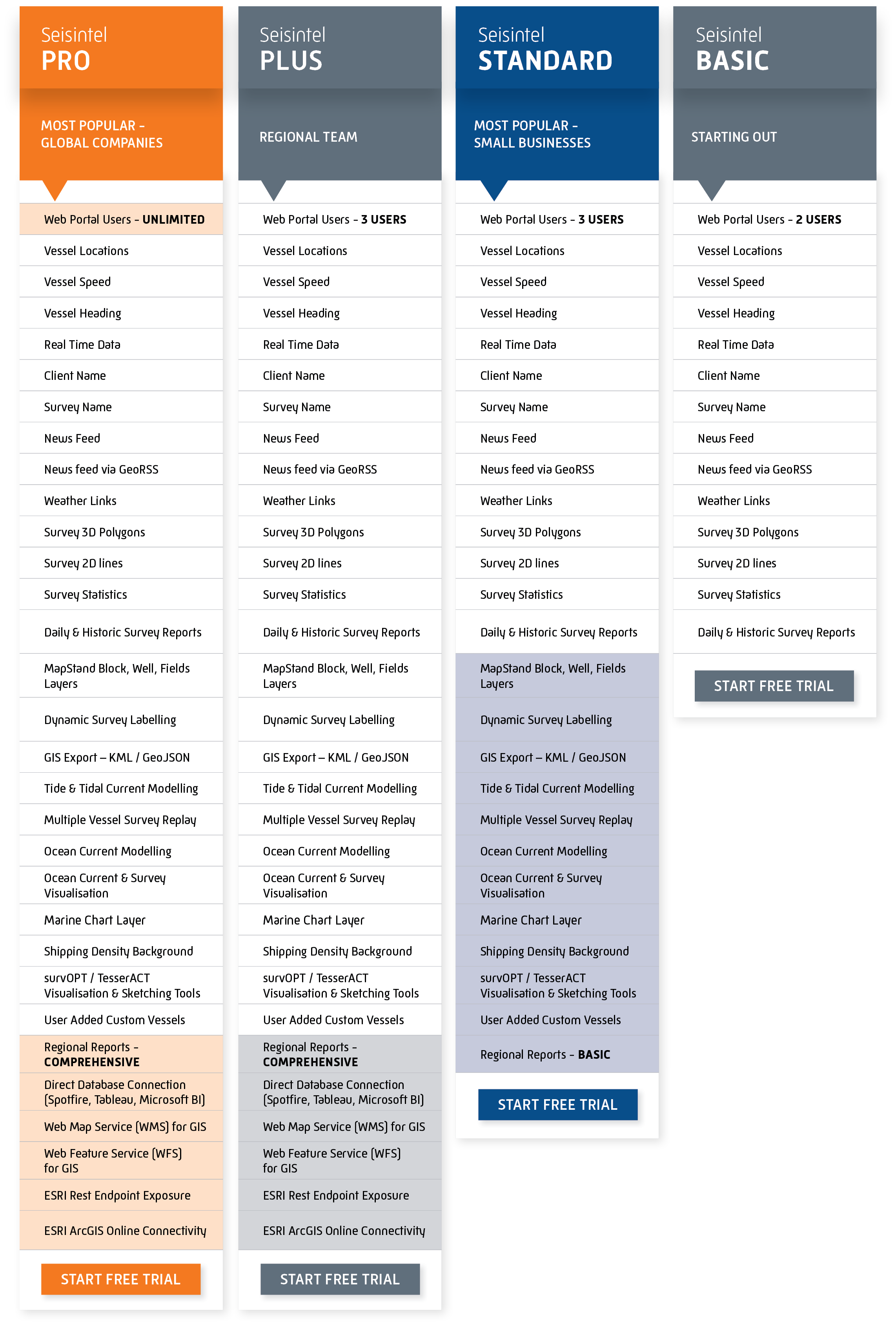
The Seisintel database is rich with information that can be mined to analyse the status and performance of the global seismic fleet. Included in a Seisintel subscription is access to a range of extensive reports and our dedicated team can also quickly create custom solutions to analyse almost any detail.

Regardless of who you work for; be it one of the majors, a government agency, a seismic contractor, or a multiclient organisation, Seisintel is a tool you need on your desktop to tell you what marine seismic was acquired, when, where
and how!
Seisintel, with a click of a button, exports data that is critical for survey planning, industry activity monitoring, competitor awareness and project compliance. With Seisintel, you can search for current and historic surveys, providing you with a wealth of useful project planning data.
That’s right, real-time vessel positioning information at your fingertips, with dynamically updating reports and statistics! Don’t forget access to the Seisintel News Panel with up-to date survey news. Seisintel can also be incorporated into any existing GIS software, so all of your information is integrated in one platform. Seisintel layers integrate seamlessly with your GIS through WFS feeds and with ESRI ArcMap and corporate webmaps through ArcGIS Online connections!
The largest maritime operation in Farsund is now underway. CGG’s Alize is seen here with the PGS Ramform Viking in Farsund, Norway on 15 January 2021 being transported to Turkey …
Seisintel is pleased to announce the release of a new product, ‘Seisintel Regional Reports’. The Seisintel Regional Reports provide detailed accounts of all seismic surveys that have been acquired in …
Seisintel is pleased to announce the release of our database connector. Easily ingest Seisintel data for advanced analytics in Business Intelligence tools such as Tibco Spotfire, Tableau, IBM Watson, Microsoft Power …
Contact us today to find out how Seisintel can assist your business.